Technology
Measure precisely.
Deliver intelligently.
Modern field equipment and digital workflows support efficient capture and project-ready outputs.
Industry-leading equipment from
- TrimbleTerrestrial laser scanning
- Leica GeosystemsGNSS and robotic total stations
- DJIAerial mapping
01
Terrestrial LiDAR
High-density 3D capture for buildings, structures and complex environments.
02
GNSS & Total Station
Survey control, detail, setting out and engineering measurement.
03
UAV Mapping
Efficient aerial capture for mapping, terrain and project documentation.
04
Point Clouds
Registered spatial datasets for measurement, coordination and modelling.
05
CAD
Clear survey drawings, plans, elevations, sections and engineering outputs.
06
BIM Workflows
Existing-condition information prepared for Scan-to-BIM workflows.
The equipment
What we measure with
Accuracy is a function of the instrument, the control and the person operating it. These are the instruments.
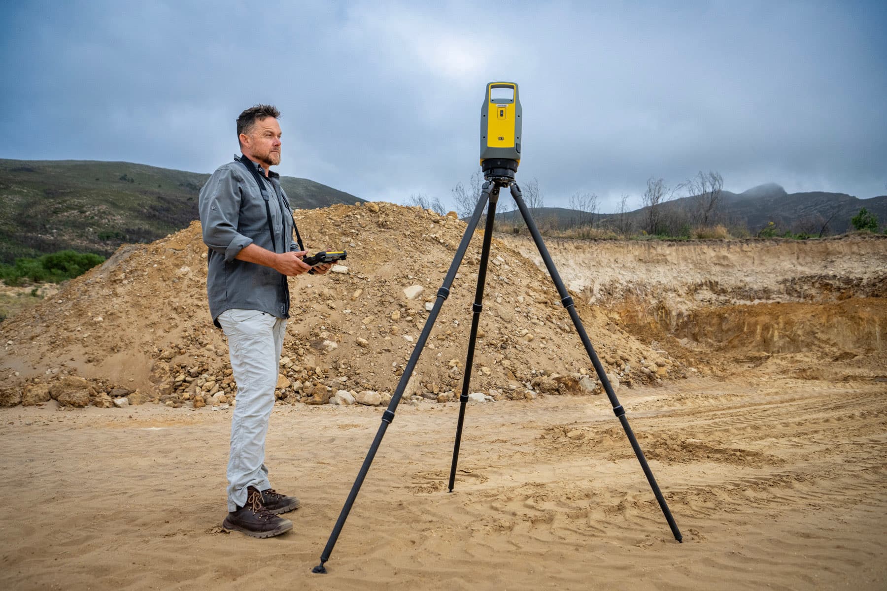
Terrestrial laser scanner
Trimble
X7
Self-levelling 3D laser scanning with in-field registration, used for high-definition capture of buildings, plant and complex structures.
GNSS rover
Leica
GS18 T
Tilt-compensated GNSS for survey control, detail capture and setting out, including points a pole cannot be held plumb over.
Robotic total station
Leica
TS13
One-person robotic measurement and setting out, for engineering survey, gridlines and position verification on site.
Aerial mapping
DJI
UAV platforms
Drone capture for orthophoto mapping, terrain models, volume surveys and progress documentation over large sites.
Equipment names and trademarks are the property of their respective owners. Listed as instruments in use; no affiliation or endorsement is implied.
Ready to discuss your project?