3D Laser Scanning
3D Laser Scanning
High-definition terrestrial LiDAR capture for structures and complex environments.
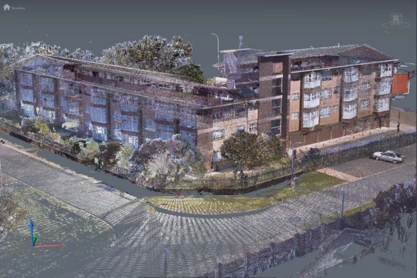
Accurate information for confident project decisions.
Terrestrial laser scanning captures a site as millions of measured points, producing a registered point cloud that can be measured, sectioned and modelled long after the site visit.
GeoSurv focuses on producing clear, usable survey information that integrates with the workflows of engineers, architects, contractors and project teams.
What is 3D laser scanning used for?
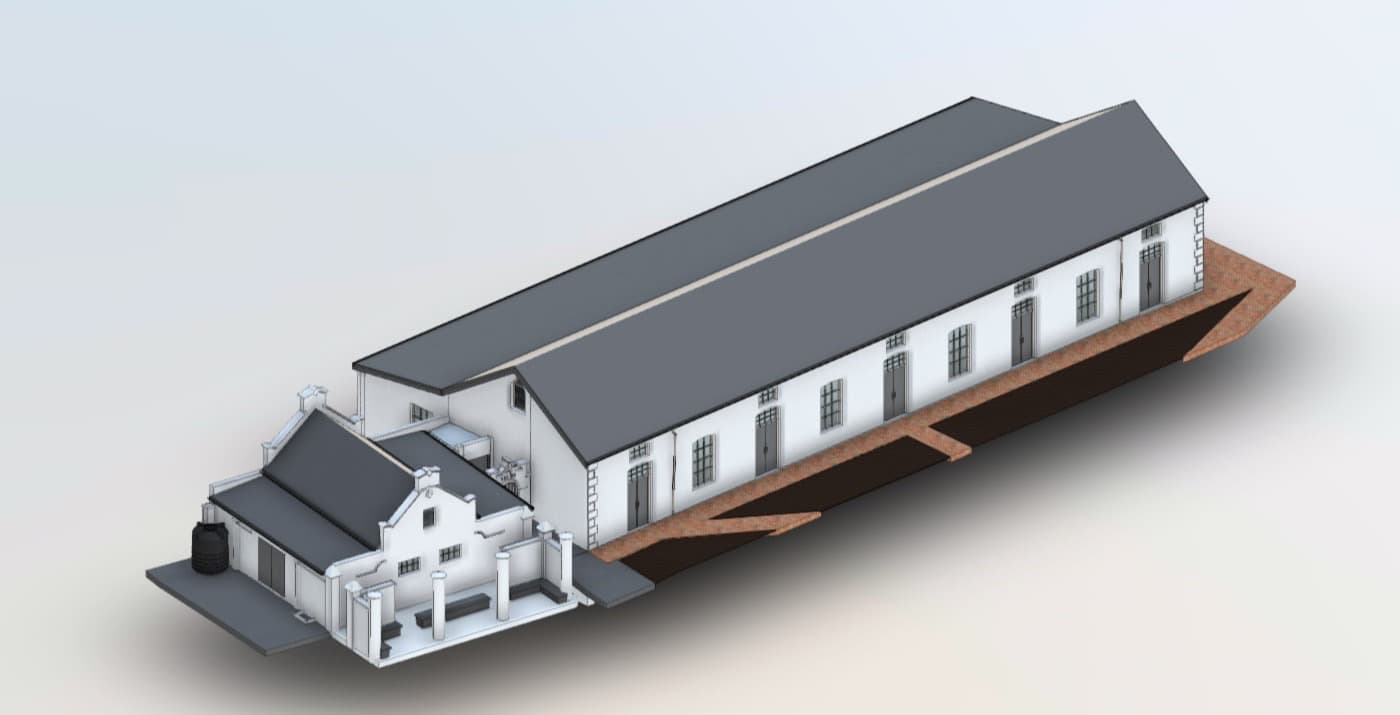
3D laser scanning captures existing buildings, structures and complex environments as a registered point cloud, used for as-built verification, plans and sections, and scan-to-BIM modelling.
Typical deliverables
- Terrestrial laser scanning
- Registered point clouds
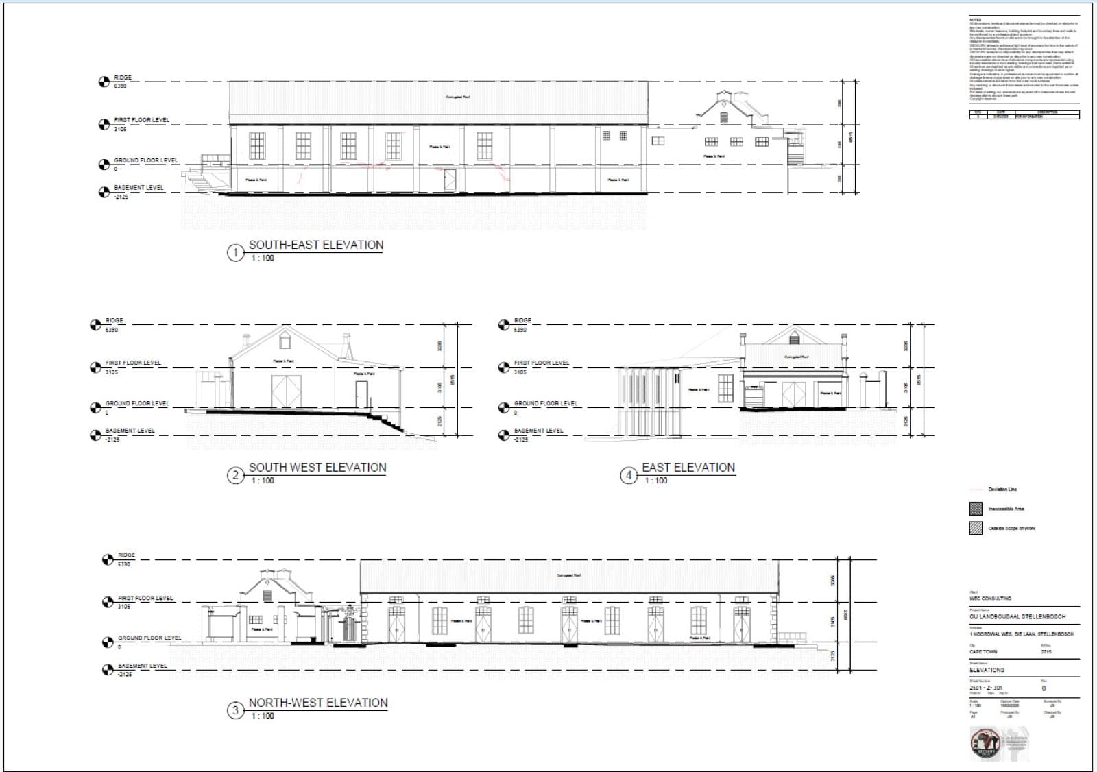
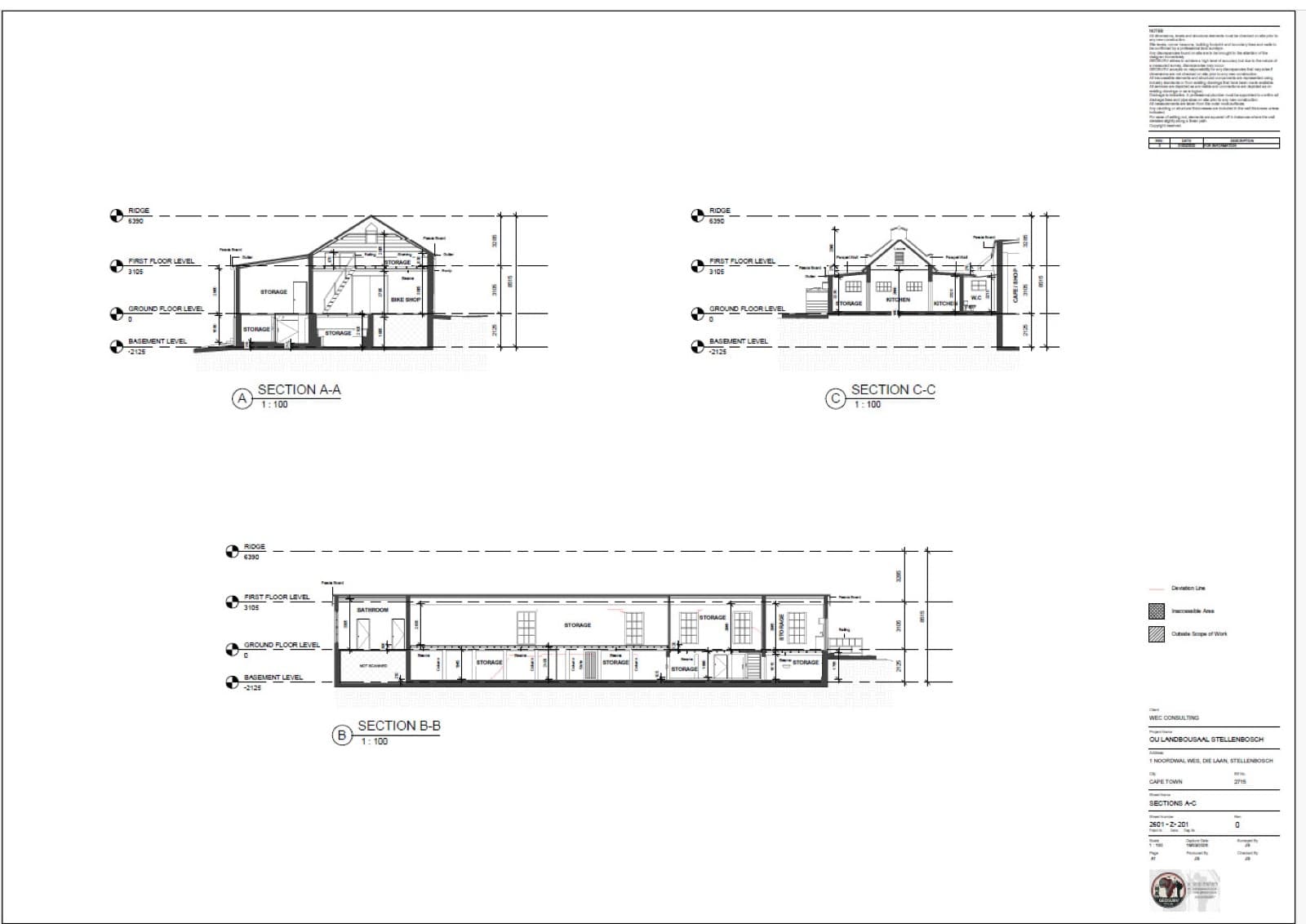
- Plans, sections and elevations
- As-built verification
- Scan-to-CAD and Scan-to-BIM
Project-specific approach
Survey methodology, control, accuracy requirements and output formats are selected to suit the project scope. Send through drawings, site information or the deliverables you need, and we will define the appropriate survey approach.
Request a quoteRelated projects
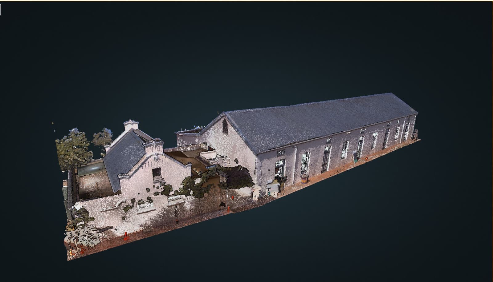
Heritage
Ou Landbousaal, Stellenbosch
3D laser scan of the exterior and interior of the historic hall, registered and modelled in Revit to produce a complete set of plans, sections and elevations.
Residential
Marykehof Apartments, Strand
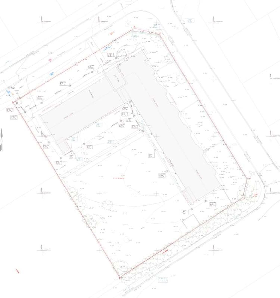
Topographical and detail survey for engineering purposes, plus a 3D scan of the entire building inside and out — delivered as a Revit model with a full set of plans, sections and elevations.