Engineering Surveys
Engineering Surveys
Control, dimensional verification and survey support for engineering projects.
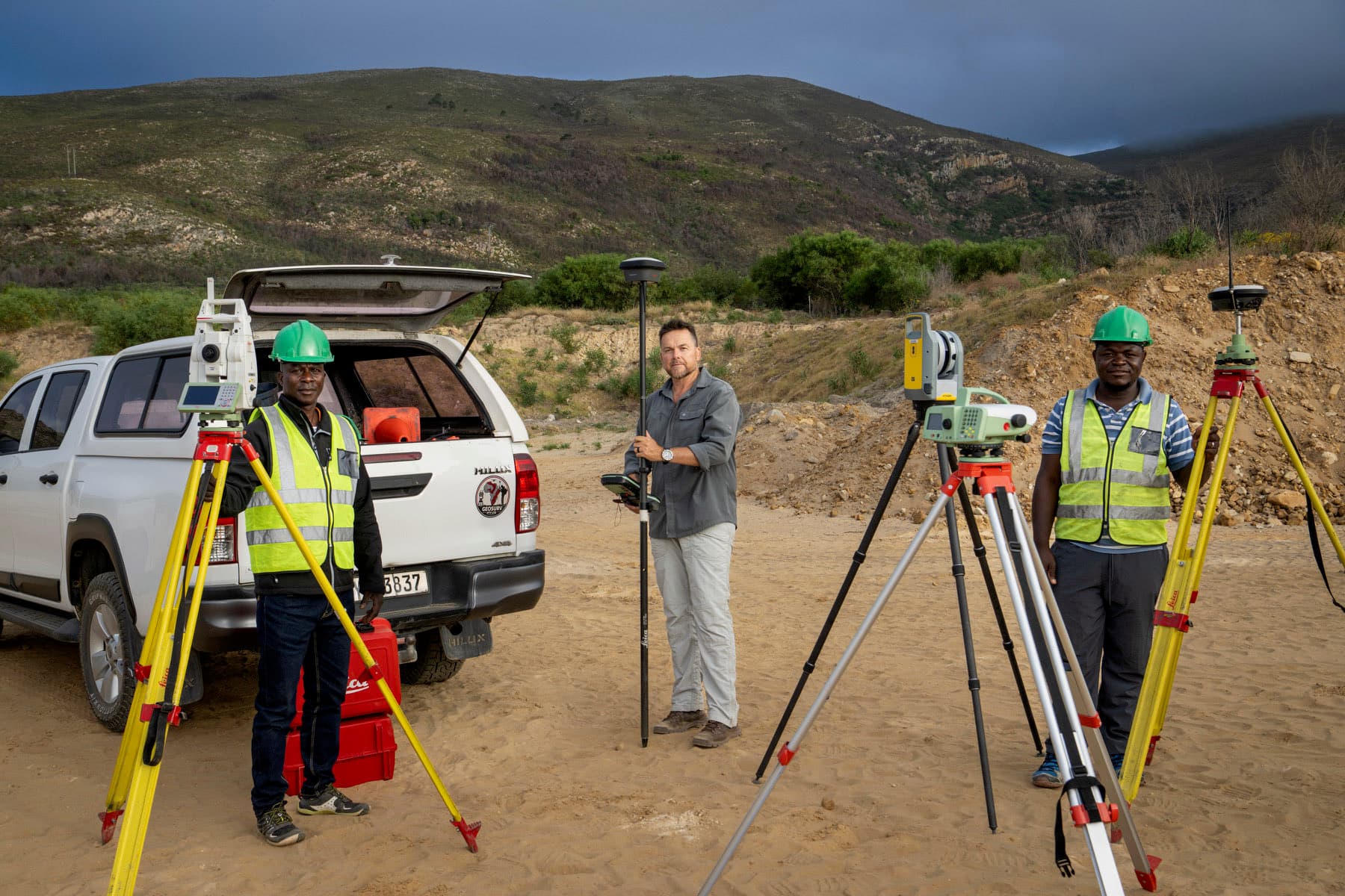
Accurate information for confident project decisions.
Engineering survey work establishes and holds the control a project is built against, then verifies that what is built matches what was designed.
GeoSurv focuses on producing clear, usable survey information that integrates with the workflows of engineers, architects, contractors and project teams.
What does an engineering survey cover?
Engineering surveys cover survey control, dimensional verification, monitoring support and civil works measurement — the positional backbone a construction project is coordinated against.
Typical deliverables
- Survey control
- Dimensional verification
- Monitoring support
- Civil engineering surveys
- Construction coordination
Project-specific approach
Survey methodology, control, accuracy requirements and output formats are selected to suit the project scope. Send through drawings, site information or the deliverables you need, and we will define the appropriate survey approach.
Request a quoteRelated projects

Aviation
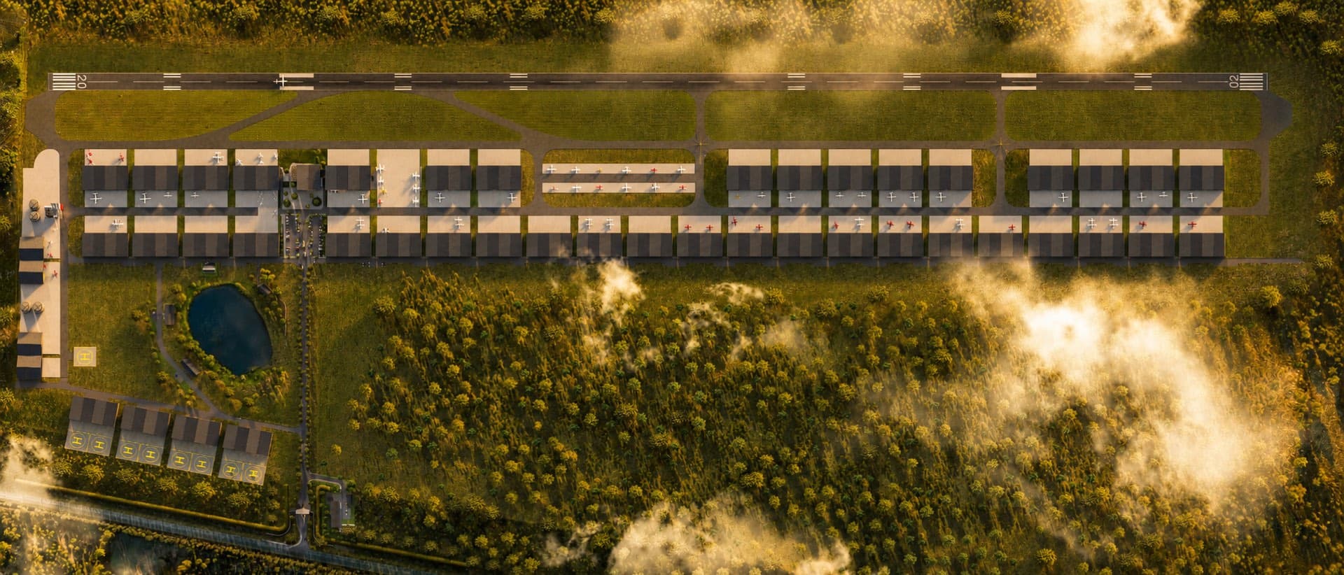
Atlantic Aerodrome
Topographical and detail survey for the construction of a new airfield development. We were also appointed to set out every building and hangar for construction.
Residential
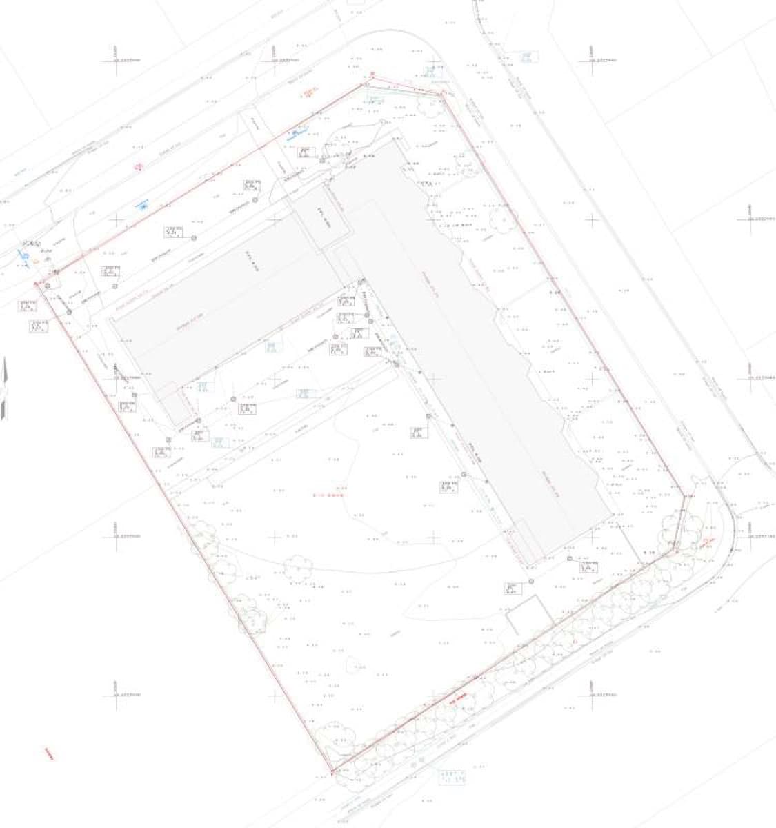
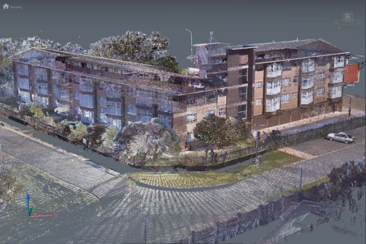
Marykehof Apartments, Strand
Topographical and detail survey for engineering purposes, plus a 3D scan of the entire building inside and out — delivered as a Revit model with a full set of plans, sections and elevations.
Healthcare
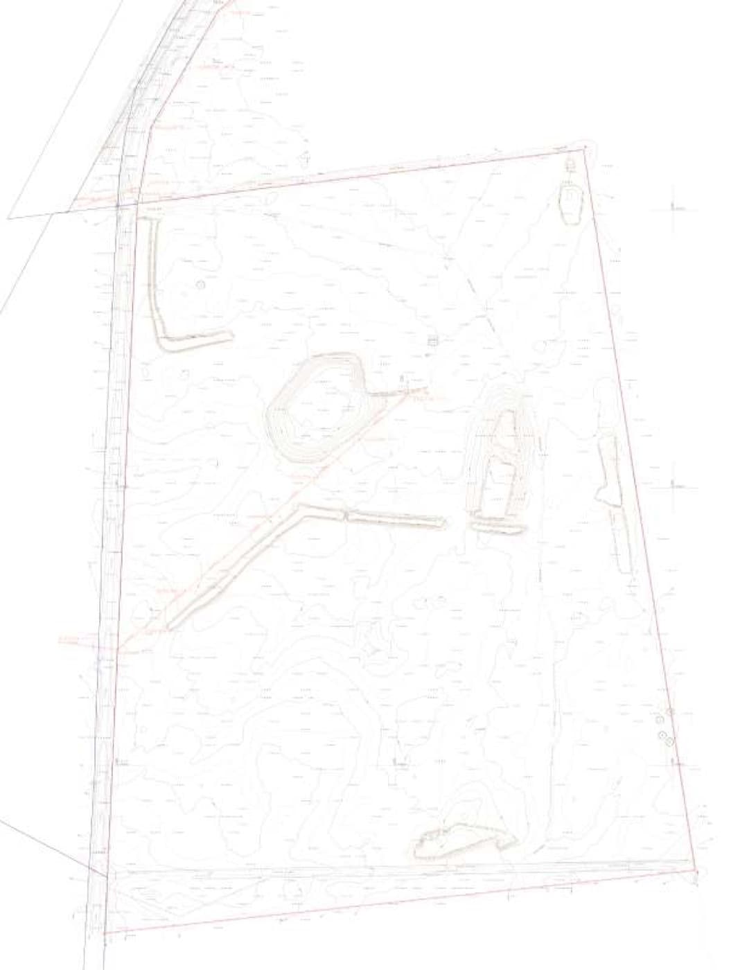
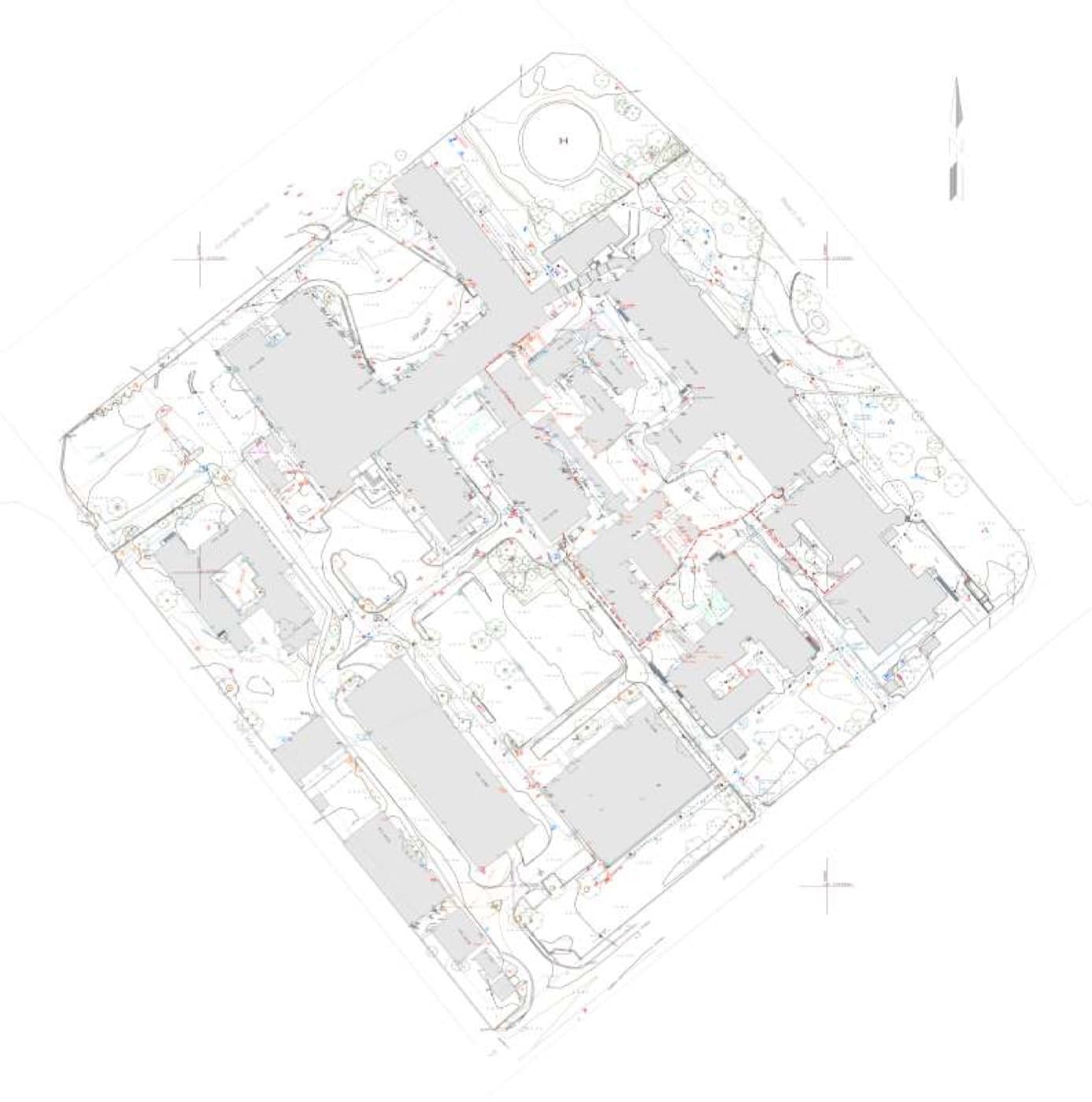
Somerset Hospital
Topographical and detail survey of a five-hectare hospital compound, supporting renovations and new services across the site.
Infrastructure
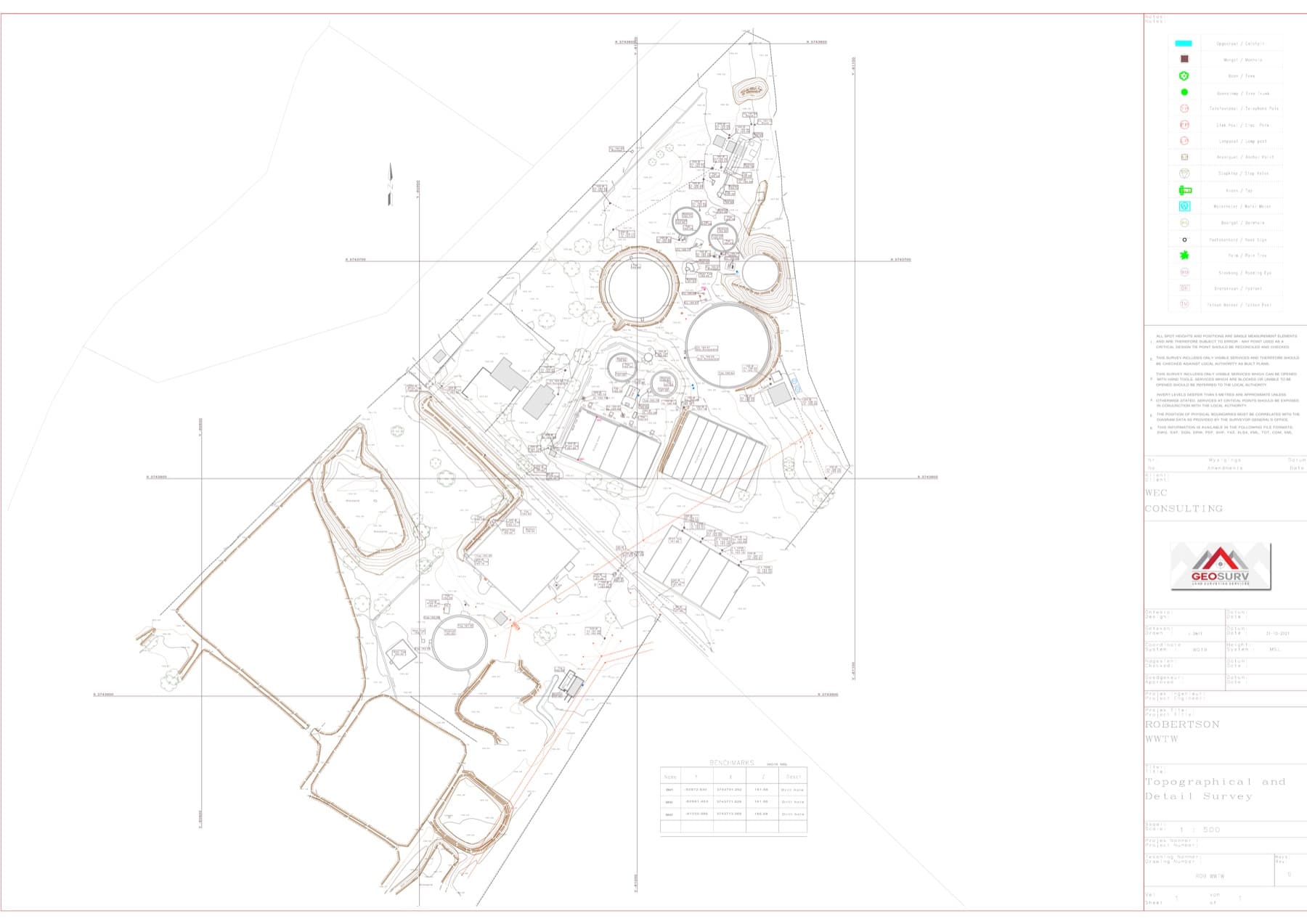
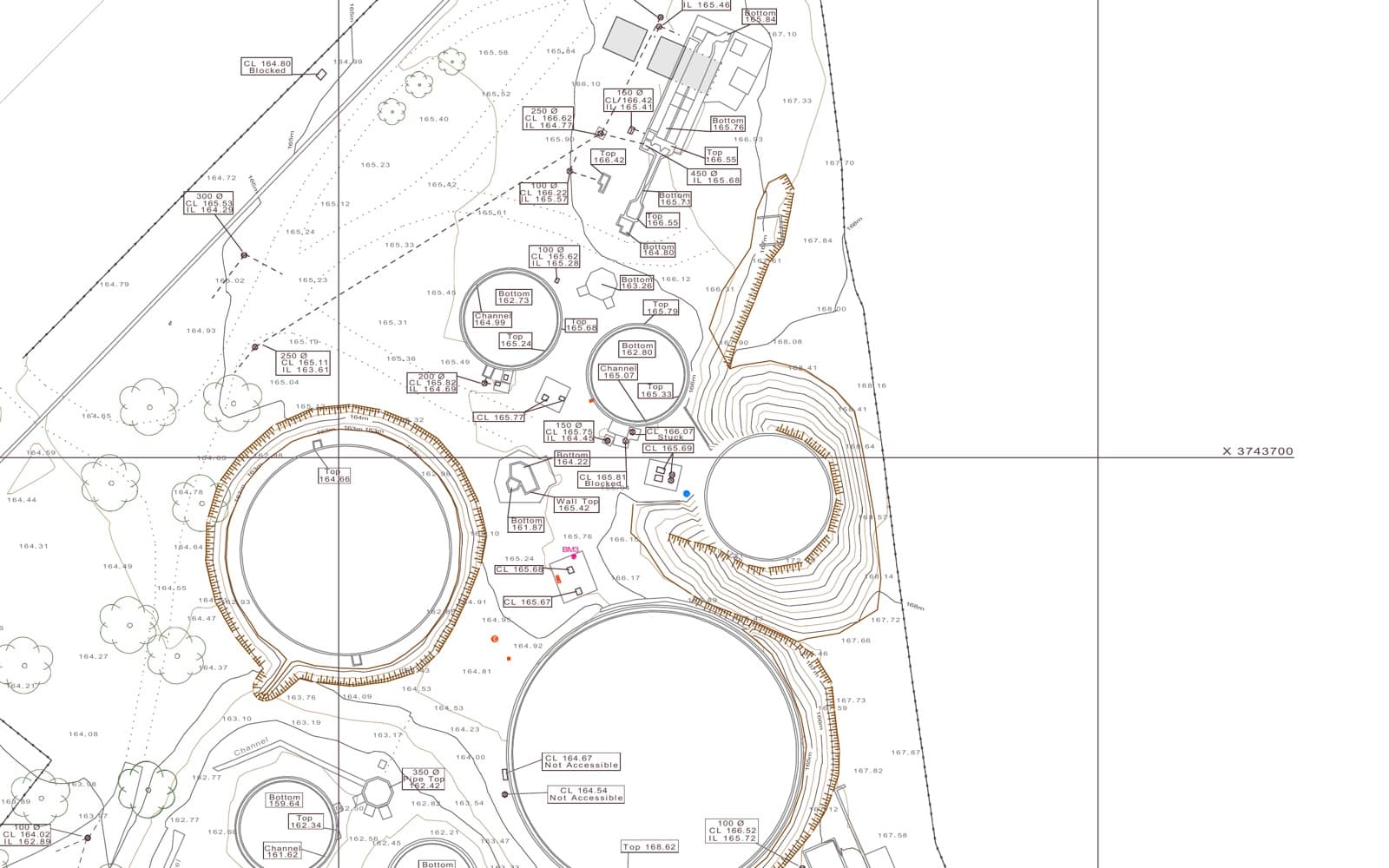
Robertson WWTW
Topographical and detail survey of a wastewater treatment works for engineering purposes.
Commercial
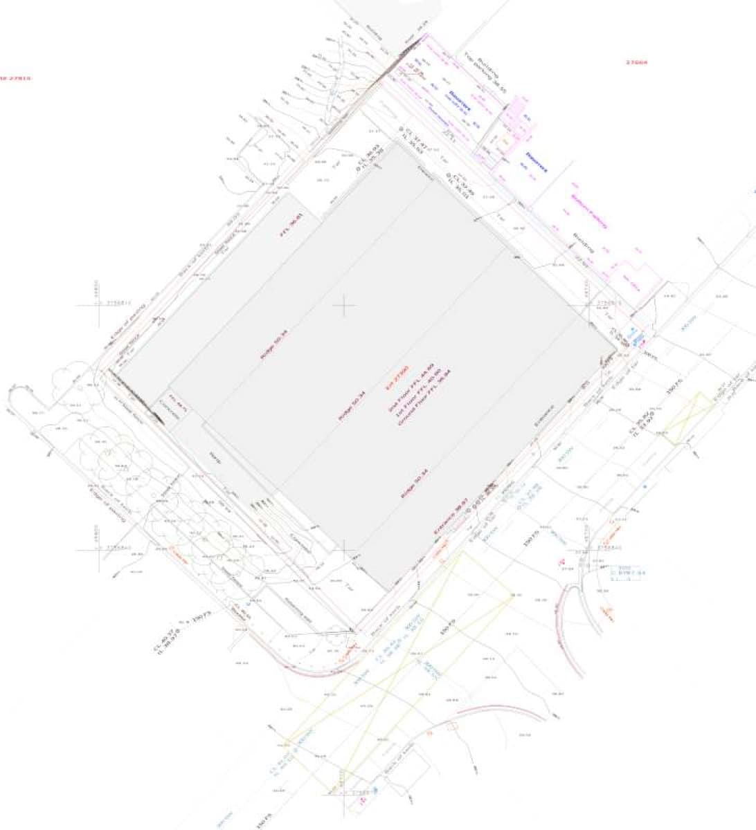
9 Browning Road, Cape Town
Topographical and detail survey for architectural design and engineering purposes.