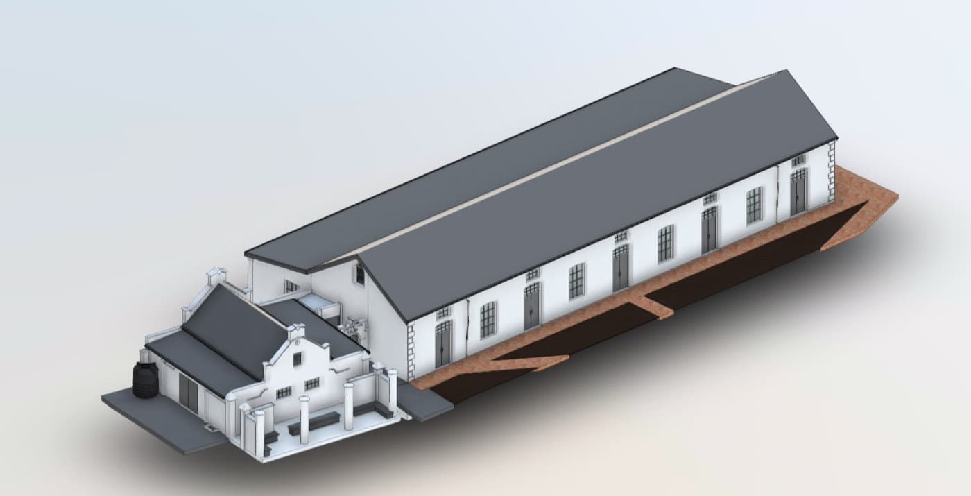
As-Built Surveys
As-Built Surveys
Measured verification and documentation of completed construction.
Accurate information for confident project decisions.
An as-built survey records the structure that was actually built, rather than the one that was drawn — the record needed for handover, verification and asset documentation.
GeoSurv focuses on producing clear, usable survey information that integrates with the workflows of engineers, architects, contractors and project teams.
Why do I need an as-built survey?
An as-built survey documents what was actually constructed, which is what handover, asset records and any deviation or dispute assessment rely on — drawings alone do not prove it.
Typical deliverables
- Completed-work measurement
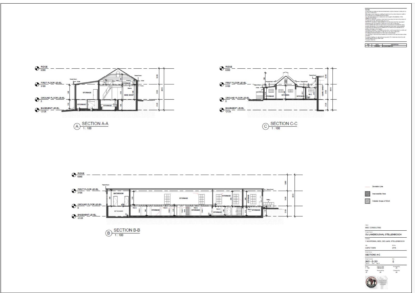
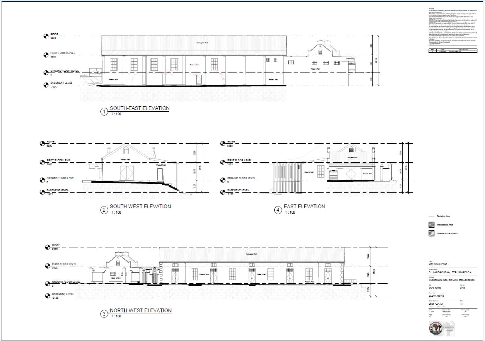
- Record drawings
- Dimensional verification
- Asset documentation
- Deviation support
Project-specific approach
Survey methodology, control, accuracy requirements and output formats are selected to suit the project scope. Send through drawings, site information or the deliverables you need, and we will define the appropriate survey approach.
Request a quoteRelated projects
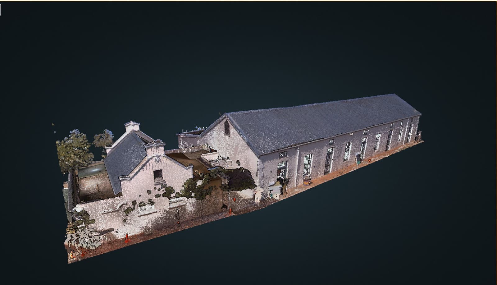
Heritage
Ou Landbousaal, Stellenbosch
3D laser scan of the exterior and interior of the historic hall, registered and modelled in Revit to produce a complete set of plans, sections and elevations.